
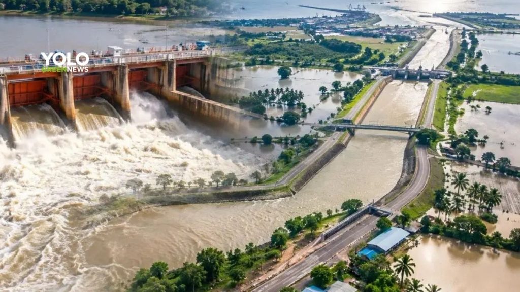
Heavy rainfall across Thailand’s Central and lower Northern regions has caused increased water flows into the Chao Phraya River, prompting the Chao Phraya Dam to raise its discharge rate to around 2,500 cubic meters per second (m³/s).
However, water experts say the current situation remains significantly different from the severe 2011 floods, thanks to lower water volumes and improved water-management measures.
One long-term solution now drawing attention is the Chai Nat–Pa Sak–Gulf of Thailand Diversion Canal, also known as the “Mega Water” project, with an estimated investment of around 160 billion baht.
The project aims to increase the capacity to divert water from upstream of the Chao Phraya Dam toward the eastern side of the river basin before ultimately discharging it into the Gulf of Thailand. The goal is to reduce the amount of water flowing downstream toward Bangkok and surrounding areas.
Why Divert Water Before It Reaches Bangkok?
Several areas of eastern Bangkok face physical and drainage limitations. Some locations have a basin-like topography, making them particularly vulnerable to water accumulation and dependent on a series of pumping systems to move water out.
Local drainage pipes are generally designed to handle rainfall events with an approximate two-year return period, while major canals are designed for events with return periods of around 5–10 years.
When accumulated rainfall exceeds approximately 300 millimeters, parts of the drainage system can become overwhelmed, increasing the risk of urban flooding.
The Mega Water concept therefore focuses on managing water upstream by creating additional drainage routes to prevent large volumes of water from reaching downstream areas simultaneously.
How Much Water Could Mega Water Divert?
The Chai Nat–Pa Sak–Gulf of Thailand Diversion Canal is designed to increase eastern diversion capacity from approximately 210 m³/s to 930 m³/s.
That represents an increase of around 720 m³/s.
The project is expected to help reduce peak flood flows passing through the Chao Phraya Dam by approximately 700 m³/s, before the water reaches downstream areas of the Chao Phraya Basin.
The new system would work alongside improvements to the eastern drainage network, allowing water to flow toward the Gulf of Thailand largely through gravity-based drainage, reducing reliance on pumping systems.
Why 2026 Is Not a Repeat of the 2011 Floods
Experts have highlighted major differences between the current situation and the 2011 flood crisis.
In 2011, water flow at the C2 monitoring station in Nakhon Sawan reached approximately 4,700 m³/s. This year, the peak flow is estimated at around 2,600 m³/s.
Water-management measures have also improved, including greater control over water diversion and flow direction, helping to prevent the current situation from reaching the scale of the 2011 disaster.
Nevertheless, the latest situation highlights the importance of increasing drainage capacity and cutting peak flood flows upstream as Thailand faces increasingly variable and intense rainfall patterns.
The 160-billion-baht Mega Water project therefore represents a shift from simply “draining water after flooding occurs” toward “diverting and reducing peak flows before they reach vulnerable areas.” It could become an important part of Thailand’s long-term water-security strategy for the Chao Phraya Basin.
Cr. bangkokbiznews